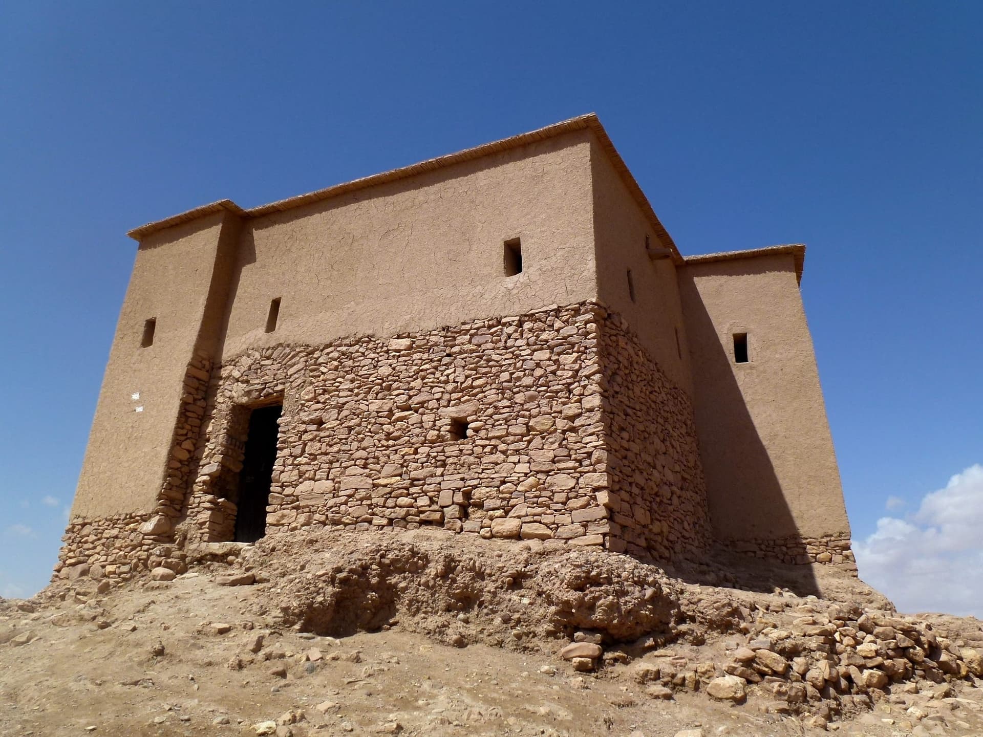
Granary and Agadir Area
The Granary or Agadir area above Aït Benhaddou represents the communal and strategic dimension of the ksar. Travel and heritage sources identify granary functions among the features visitors encounter on guided circuits, and the elevated position makes practical sense within a fortified settlement. In traditional southern Moroccan contexts, collective storage was closely linked to security, food supply, and community organization, especially in places connected to trade routes and rural production. Reaching this upper area requires a climb through the old lanes, past earthen houses and tower forms, until the village opens toward the ridge. From here, the layout of the ksar becomes more legible: the defensive walls below, the river crossing beyond, the modern village on the opposite bank, and the valley corridor extending into the surrounding landscape. The structure itself is best understood as part of a wider ensemble rather than a single isolated attraction. Local guides can help explain how storage, defence, and settlement planning worked together in pre-Saharan architecture. Even without detailed interpretation, the sense of height and command is clear. The upper agadir area is also one of the most rewarding viewpoints for photographers, particularly near sunset. Visitors should take care on uneven ground, avoid fragile edges, and remember that the site is both a heritage monument and a place with continuing local significance.
Gallery